Anglers Access Program

The Angler Access Program improves access for anglers to Tasmania’s fisheries. This involves working with landowners and creating formal access agreements.
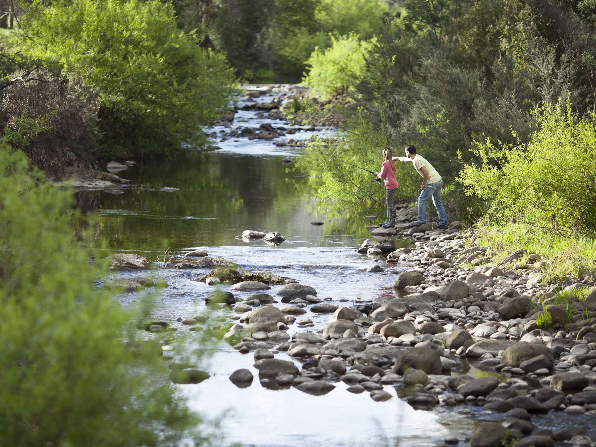
Rivers often flow through multiple properties. These may be a combination of public and private land. Private land title generally extends to the edge of the river, and occasionally to the middle.
An angling licence does not give permission to cross private property to fish,
The IFS and Anglers Alliance Tasmania work with landowners to develop access.
Access points are clearly marked with signs on major fisheries around the State.
Anglers play an important role in maintaining good relations with landowners.
- Please understand that access is a privilege not a right.
- When in doubt, ask for permission before accessing the water.
- Please observe the access rules and warnings on signs.
Many lakes in Tasmania exist on Hydro Tasmania or reserve land (Crown, National Parks etc.). Public access is generally permitted across the land to the lakes and around the lakeshores. Hydro Tasmania does control access to areas where there is infrastructure or safety issues. Appropriate warnings generally sign these areas.
The IFS and Anglers Alliance Tasmania work with landowners to develop access. Participation in the Anglers Access Program is voluntary. To find out more download the Information for landowners brochure.
Anglers Access Program brochures
We have developed brochures and fact sheets with access information for popular lakes and rivers. Each includes a map showing access points and important information for local and visiting anglers including angler’s code of conduct, regulation, safety, environmental issues and fishery management objectives.
Click on a water to download a copy of the Anglers Access Program brochure.
- IFS River Access - Rights and Responsibilities
- Information for landowners
- Arthur River (fact sheet)
- Arthurs Lake
- Blackmans Lagoon (fact sheet)
- Bradys Lake, Lake Binney & Tungatinah Lagoon
- Bronte Lagoon
- Brumbys Creek
- Camden Lake (fact sheet)
- Clarence Lagoon (fact sheet)
- Craigbourne Lake
- Curries River Reservoir (fact sheet)
- Dee Lagoon
- Yingina / Great Lake
- Huntsman Lake, Brushy Lagoon and Four Springs Lake
- Huon River
- Lake Barrington
- Lake Burbury
- Lake Crescent (fact sheet)
- Lake Echo
- Lake Fergus (fact sheet)
- Lake Kara (fact sheet)
- Lake Leake and Tooms Lake
- Lake Mikany (fact sheet)
- Lake Pedder and Lake Gordon
- Lake Rosebery and Lake Mackintosh
- Lake Rowallan
- Lake Sorell (fact sheet)
- Lake St Clair, St Clair Lagoon and Lake King William
- Little Pine Lagoon
- Tinamirakuna/Macquarie and Lake Rivers
- Meadowbank Lake
- Meander River
- Mersey River
- Mossy Marsh Pond (fact sheet)
- Penstock Lagoon
- Pet Reservoir (fact sheet)
- Pine Tier Lagoon (fact sheet)
- Private Dams for public fishing — North West region (table)
- Pump Pond (fact sheet)
- River Derwent
- River Leven
- St Clair Lagoon (fact sheet)
- South Esk River
- South Riana Lake (fact sheet)
- Talbots Lagoon (fact sheet)
- Tyenna River
- Western Lakes Wilderness Fishery
- Woods Lake
Private/farm Dams for Public Fishing - North West Region
| Property owner name and address | Contact details | Coordinates (GDA94) | Latitude/Longitude | Notes |
|---|---|---|---|---|
|
Max and Nathan Skirving
91 Skirvings Road Sassafras 7307 3 Dams with access off Greens Creek Road. |
Max 0408 642 677
Nathan 0418 518 942 |
|
|
Stile over fence at Greens Creek Road with access sign next to gate. Prior permission not required. |
|
Ben Radcliff
716 Camena Road West Pine. |
0407 375 204 |
|
|
Access by prior permission with Ben’s mobile number. Signs at Camena Road and West Pine Road. |
| Justin Shephard
98 Natone Road Stowport |
0408 102 769 |
|
|
Access by prior permission with Justin’s mobile number. Signs at Natone Road. |
|
Scott Rockliff
Bill and Sheryl Rockliff 164 East Sassafras Rd Sassafras. |
Scott
0418 143 970 Bill and Sheryl 0418 267 286 |
|
|
Access by prior permission via mobile number. Sign at East Sassafras Road |
| David and Jane Field
473 West Ridgley Road West Ridgley |
David
0429 950 024 Jane 0498 561 971 |
|
|
Access by prior permission with David or Jane’s mobile number. Sign at West Ridgley Road. |
|
Chris McKenna
Contact address: 131 Gawler Road Gawler 7315 Dam address: 129 West Ridge Rd Penguin. |
0418 966 801 |
|
|
Access by prior written permission. Sign and stepover at Bass Highway, Penguin. |